
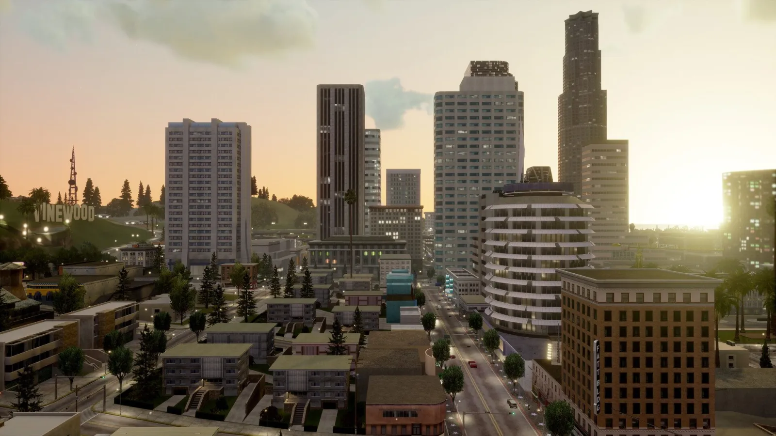
GTA San Andreas map: 3 cities and 5 counties, the order areas unlock by mission, wanted levels in locked zones, Ammu-Nation, Pay 'n' Spray, mod shops, barbers, airports and collectibles.
Cities and counties of San Andreas
San Andreas is a fictional state based on California and Nevada: the cities are modeled on real ones, and the countryside on the rural parts of those two states.
| Part of the state | What it is |
|---|---|
| Los Santos | city where the game starts; based on Los Angeles |
| San Fierro | city; based on San Francisco |
| Las Venturas | casino city; based on Las Vegas |
| Red County | county: Blueberry, Dillimore, Montgomery, Palomino Creek |
| Flint County | county with Flint Intersection |
| Whetstone | county with Mount Chiliad and Angel Pine |
| Tierra Robada | desert county with El Quebrados and the town of Bayside by the Gant Bridge; Sherman Dam sits on the border with Bone County |
| Bone County | desert with Fort Carson, Verdant Meadows, Area 69, the ghost town of Las Brujas and the El Castillo del Diablo rock formations |
According to GTA Wiki, Los Santos is the largest city by both area and population, San Fierro is the smallest by area, and Las Venturas has the smallest population. The highest point is Mount Chiliad in Whetstone, at around 526 m (also per GTA Wiki).
City districts and their real-life counterparts
GTA Wiki and GTABase use the same district names and the same real-life counterparts. The only difference is completeness: GTA Wiki lists 29 districts in Los Santos, GTABase 24, leaving out Temple, Market, Verona Beach, Marina and East Los Santos. San Fierro has 27 districts including its two bridges, Las Venturas 15.
Los Santos
| Part of the city | District | Based on |
|---|---|---|
| central | Downtown Los Santos | Downtown Los Angeles |
| central | Pershing Square | Pershing Square |
| central | Commerce | Civic Center |
| central | Los Santos Conference Center | Los Angeles Convention Center |
| central | Mulholland Intersection | Four Level Interchange |
| central | Verdant Bluffs | Griffith Park |
| west | Mulholland | Hollywood Hills |
| west | Richman | Bel Air |
| west | Rodeo | Beverly Hills |
| west | Vinewood | Hollywood, West Hollywood |
| west | Temple | Hollywood |
| west | Market | Wilshire, Mid-Wilshire, Fairfax District |
| west | Santa Maria Beach | Santa Monica |
| west | Verona Beach | Venice Beach |
| west | Marina | Marina del Rey |
| east | Ganton | Compton |
| east | Idlewood | Inglewood |
| east | Jefferson | Watts |
| east | Glen Park | Echo Park, MacArthur Park |
| east | East Los Santos | East Los Angeles |
| east | Las Colinas | Northeast Los Angeles |
| east | Los Flores | Boyle Heights |
| east | El Corona | Lennox, Pico-Union |
| east | Little Mexico | Olvera Street |
| east | Willowfield | Wilmington, Willowbrook |
| east | East Beach | Long Beach |
| east | Playa del Seville | San Pedro, Harbor City |
| south | Ocean Docks | Port of Los Angeles |
| south | Los Santos International Airport | Los Angeles International Airport |
San Fierro
| District | Based on |
|---|---|
| Downtown / Financial | Financial District |
| Chinatown | Chinatown |
| Juniper Hill | Russian Hill, Nob Hill |
| Calton Heights | Pacific Heights |
| Juniper Hollow | Cow Hollow |
| Esplanade North | Fisherman's Wharf |
| Esplanade East | Embarcadero |
| Battery Point | Fort Point |
| Paradiso | The Presidio |
| Palisades | Presidio Heights, Sea Cliff |
| City Hall | Civic Center |
| Hashbury | Haight-Ashbury |
| Queens | The Castro |
| Garcia | Mission District, Potrero Hill |
| King's | Noe Valley |
| Santa Flora | Twin Peaks |
| Missionary Hill | Mount Sutro |
| Ocean Flats | Sunset, Ocean Beach |
| Avispa Country Club | Cliff House, Olympic Club |
| Doherty | Dogpatch |
| Cranberry Station | Caltrain Depot |
| Easter Basin | China Basin, Hunters Point |
| Corvin Stadium | Candlestick Park |
| Foster Valley | Foster City, Burlingame |
| Easter Bay Airport | San Francisco International Airport |
| Gant Bridge | Golden Gate Bridge |
| Garver Bridge | San Francisco–Oakland Bay Bridge |
Las Venturas
| District | Based on |
|---|---|
| The Strip | Las Vegas Strip |
| Old Venturas Strip | Fremont Street |
| Roca Escalante | Downtown Financial District |
| Redsands East | Las Vegas Arts District |
| Redsands West | North Las Vegas |
| Prickle Pine | Summerlin |
| Whitewood Estates | Westside |
| Spinybed | Sunrise Manor |
| Rockshore East | Whitney |
| Rockshore West | Henderson |
| Pilgrim | Chinatown Plaza |
| Blackfield | University District |
| Las Venturas Airport | Harry Reid International Airport |
Two more Las Venturas districts, Creek and Linden Side, have no clear real-life counterpart. The gang areas of Los Santos are in the gang wars guide.
The order the map unlocks in
At the start, the whole state except Los Santos is locked. New areas open after specific story missions. Mission details are in the GTA San Andreas missions guide.
| Stage | What unlocks | After mission |
|---|---|---|
| 1 | Los Santos only | start of the game |
| 2 | Red County, Flint County, Whetstone and San Fierro — you can drive there without a wanted level | The Green Sabre |
| 3 | Tierra Robada, Bone County and Las Venturas | Yay Ka-Boom-Boom |
| 4 | Airports, the planes and helicopters at them, Las Venturas properties | Learning to Fly |
What happens if you enter a locked area
CJ gets a wanted level immediately. According to GTA Wiki, it's 4 stars, and if the police arrest you, the fine is $600.
There are also two restricted zones: Area 69 in Bone County and the Easter Basin Naval Station military base in San Fierro. Per GTA Wiki, entering or flying over them gets you 5 stars, or 4 while the surrounding area is still locked.
The maximum wanted level also grows with the story: 4 stars at first, 5 once San Fierro opens, and 6 after Learning to Fly.
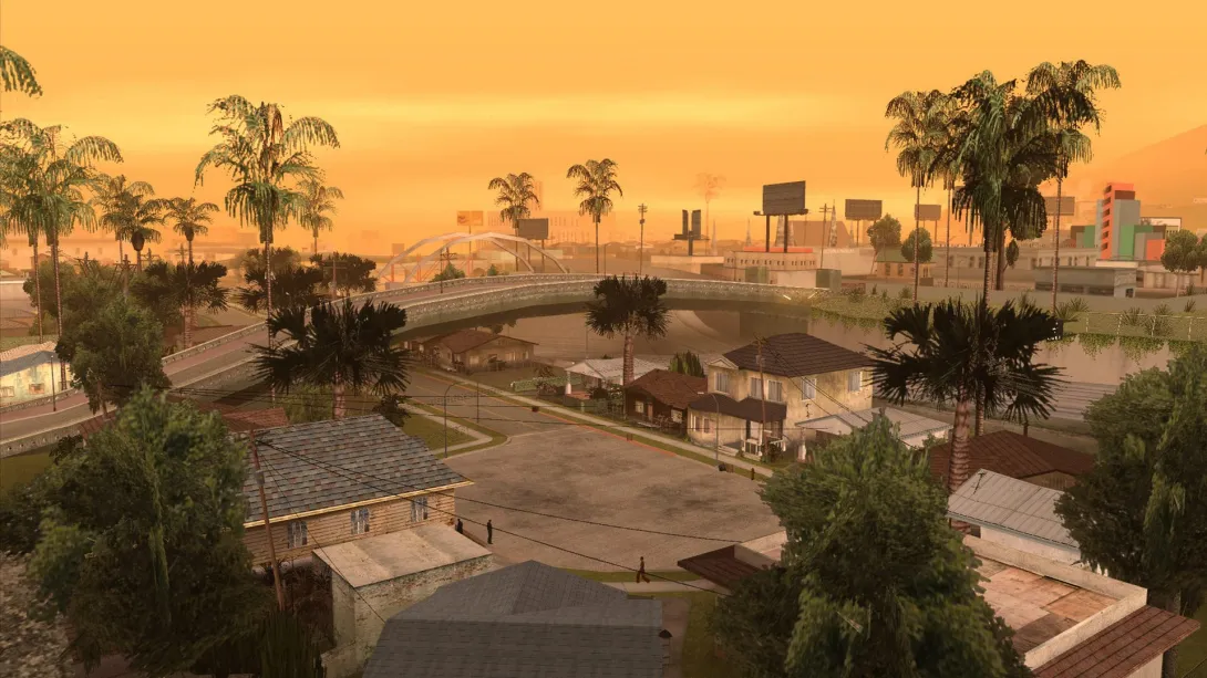
Key locations on the map
Numbering follows the GTA Wiki lists; other guides may use a different order, but the set of locations is the same.
Ammu-Nation
11 stores, 7 of them with a shooting range. They open after the mission Doberman. Weapons cost 20% more in Las Venturas. What they sell is covered in the weapons guide.
| # | District | Shooting range |
|---|---|---|
| 1 | Market, Los Santos | yes |
| 2 | Willowfield, Los Santos | no |
| 3 | Queens / Ocean Flats, San Fierro (guides name neighboring districts) | yes |
| 4 | Old Venturas Strip, Las Venturas | yes |
| 5 | Come-A-Lot, Las Venturas | yes |
| 6 | Angel Pine, Whetstone | no |
| 7 | El Quebrados, Tierra Robada | yes |
| 8 | Blueberry, Red County | yes |
| 9 | Palomino Creek, Red County | yes |
| 10 | Fort Carson, Bone County | no |
| 11 | East Bone County | no |
Pay 'n' Spray
9 working garages across all three cities and three of the counties.
| # | District |
|---|---|
| 1 | Idlewood, Los Santos — next to the ramp into the storm drain |
| 2 | Temple, Los Santos |
| 3 | Santa Maria Beach, Los Santos |
| 4 | Doherty, San Fierro |
| 5 | Juniper Hollow, San Fierro |
| 6 | Redsands East, Las Venturas |
| 7 | Dillimore, Red County |
| 8 | El Quebrados, Tierra Robada |
| 9 | Fort Carson, Bone County |
One more garage near the Royal Casino in Las Venturas isn't marked on the map and only worked in the original PS2 release, so we've left it off the list.
Mod shops
| # | District | Shop and when it opens |
|---|---|---|
| 1 | Temple, Los Santos | TransFender — after Cesar Vialpando |
| 2 | Willowfield, Los Santos | Loco Low Co., 8 lowriders — after Cesar Vialpando |
| 3 | Doherty, San Fierro | TransFender — after Are You Going to San Fierro? |
| 4 | Ocean Flats, San Fierro | Wheel Arch Angels, 6 street racers — per GTA Wiki, after Zeroing In |
| 5 | Come-A-Lot, Las Venturas | TransFender — per GTA Wiki, after Learning to Fly |
Barbers and tattoo parlors
They open after the mission Ryder. There are 7 barbers: Idlewood, Playa del Seville and Marina in Los Santos, Queens in San Fierro, Redsands East in Las Venturas, Dillimore and El Quebrados. There are 4 tattoo parlors: Idlewood and El Corona / Willowfield (guides disagree) in Los Santos, Hashbury in San Fierro and Redsands East in Las Venturas.
Gyms
3 gyms, each with its own fighting style: Ganton Gym in Los Santos, Cobra Martial Arts in Garcia (San Fierro) and Below the Belt in Redsands East (Las Venturas). They open after a call from Sweet that comes after the mission Drive-Thru.
Clothing
Per GTA Wiki, the game has 6 chains and 17 stores: Binco, Sub Urban and ProLaps open after Nines and AK's, ZIP after Are You Going to San Fierro?, Victim after Learning to Fly, and Didier Sachs in Rodeo after Saint Mark's Bistro.
Airports
| City or county | Airport |
|---|---|
| Los Santos | Los Santos International |
| San Fierro | Easter Bay Airport |
| Las Venturas | Las Venturas Airport |
| Bone County | Verdant Meadows — a private airstrip you buy for $80,000 |
Planes and helicopters appear at the airports after Learning to Fly. Verdant Meadows and other purchases are covered in the houses and businesses guide.
How big is the GTA San Andreas map
Rockstar has never given an official size. GTA Wiki puts the map at about 33 km², while Insider Gaming and Sportskeeda say 38.2 km². The difference most likely comes down to whether the water around the land is counted. So the honest answer is roughly 33–38 km², depending on how you measure.
Rockstar has posted high-resolution maps of the Trilogy games on its Newswire. Per GTA Wiki, the mobile version's map is "slightly different" from the original, but we couldn't find specific changes confirmed by two sources. More on versions on the GTA San Andreas mobile and platforms pages.
Collectibles on the map
The four collectibles needed for 100% completion are tied to regions:
- 100 gang tags — Los Santos;
- 50 snapshots — San Fierro;
- 50 horseshoes — Las Venturas;
- 50 oysters — underwater across the whole state.
Unique stunt jumps are also spread across the state, but you do not need them for 100%. For an overview, see the collectibles guide.
GTA San Andreas map FAQ
How many cities are in GTA San Andreas?
Three: Los Santos, San Fierro and Las Venturas. There are also 5 counties with villages and desert: Red County, Flint County, Whetstone, Tierra Robada and Bone County.
How do you unlock San Fierro in GTA San Andreas?
Complete the story mission The Green Sabre. After that, you can drive to San Fierro and the rural counties without a wanted level.
When does Las Venturas unlock?
After the mission Yay Ka-Boom-Boom, together with the Tierra Robada and Bone County desert. The airports and Las Venturas properties become available even later, after Learning to Fly.
Why do I get a wanted level for going to another city?
Because the area is still locked by the story. Per GTA Wiki, the game puts 4 stars on you right away. Once a mission unlocks the area, you're no longer punished for going there.
Where are Ammu-Nation and Pay 'n' Spray in Los Santos in GTA San Andreas?
Ammu-Nation is in Market (with a shooting range) and Willowfield. Pay 'n' Spray is in Idlewood, Temple and Santa Maria Beach.
How big is the GTA San Andreas map?
Roughly 33–38 km², depending on who's counting and how. There's no official figure from Rockstar.
Sources
- Official: Rockstar Games, Rockstar Newswire, Rockstar Support, Take-Two Interactive
- Databases and guides: GTABase, GTA Wiki, GTA BOOM, PowerPyx
- Press: GamesRadar, PC Gamer, IGN, VGC, Game Informer
Every fact is checked against official sources or at least two independent ones; player-sourced data is labelled in the text. Images are official Rockstar Games material. GTA Top is not affiliated with Rockstar Games or Take-Two Interactive.